Executive Summary
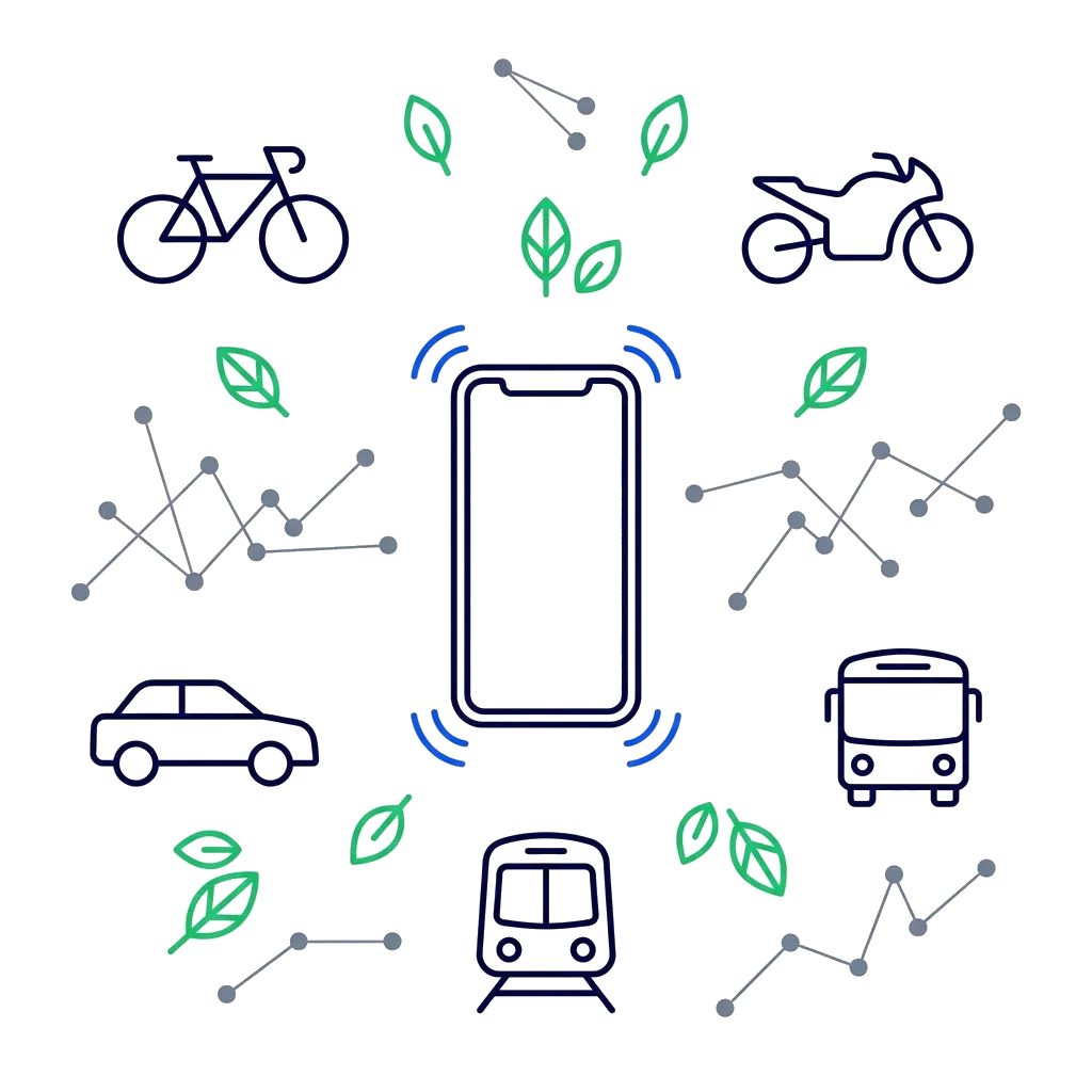
ibute partnered with Iris Technologies to build a machine learning system that automatically detects transportation modes using smartphone sensorsvachieving 88% accuracy while consuming less than 5% battery daily. Delivered in 6 months with a lean team, the solution validated Iris's core business model and enabled global scaling across Asia and Europe.
The Challenge
Iris Technologies AB, a Stockholm based impact tech startup, set out to help businesses and individuals measure and reduce their climate impact in support of the UN 2030 Sustainability Agenda. Their vision was ambitious, create a platform that could automatically track how people travel and calculate the carbon footprint of each journey without requiring any manual input from users.
The Core Technical Challenge:
How do you automatically and accurately detect whether someone is traveling by bicycle, motorcycle, car, bus or subway using only the sensors in their smartphone while running continuously in the background without draining the battery?
Why This Was Hard
Unlike controlled environments where you might track delivery vehicles with dedicated hardware, this system needed to work:
- Across dramatically different traffic conditions (smooth European highways vs. congested Asian city streets)
- In areas with no internet connectivity (subway tunnels)
- Without destroying phone battery life (users won't keep an app that drains their battery)
- With high accuracy across diverse real world scenarios (traffic jams, stop-and-go driving, multi-modal trips)
- On both iOS and Android (each with different background processing limitations)
- Within a startup budget (no room for expensive cloud computing or extensive field testing)
Traditional GPS based solutions couldn't solve this. A car stuck in traffic looks like a bicycle on GPS. A subway train underground has no GPS signal at all. The solution required something more sophisticated: machine learning combined with sensor fusion and smart algorithms.
The Solution: A Multi-Layered Technical Approach
Phase 1: Understanding the Problem Space
Before writing a single line of code, we conducted extensive research into existing academic papers on transportation mode detection. We analyzed the strengths and limitations of various sensor combinations and machine learning approaches.
Phase 2: Custom Deep Learning Model Development
The Machine Learning Architecture:
We developed a custom Multi Layer Perceptron (MLP) deep learning model trained on sensor data fusion from:
- Gyroscope - Detects rotational movement patterns (different for bicycles vs. cars)
- Accelerometer - Measures acceleration forces and vibration patterns unique to each mode
- GPS/Location - Provides speed and route information
- Magnetometer - Tracks directional changes and turning patterns
- Barometer - Detects altitude changes (critical for subway detection)
The Training Data Challenge:
We couldn't buy a ready made dataset for this specific use case. Instead, we:
- Recruited students and volunteers to collect real world data across different transportation modes
- Supplemented with publicly available transportation research datasets
- Built a feedback loop where users could correct misidentifications, continuously improving the model
The Geographic Diversity Problem:
Early testing revealed a critical challenge: transportation patterns vary dramatically by region.
Asia (Lahore)
- Frequent stops at traffic signals
- Slower average speeds with lots of stop-and-go
- Traffic jams causing cars to move at bicycle speeds
- Trips naturally broken into many smaller segments
Europe (Sweden, Denmark)
- Smoother, faster moving traffic
- Well organized public transportation
- Different acceleration/deceleration patterns
- Longer uninterrupted segments
- Underground subway tracks and stations
We needed the model to work in both environments without being retrained for each region. This required extensive testing and algorithm refinement to handle diverse global transportation patterns.
The Technical Architecture
A full-stack solution combining native mobile apps, cloud infrastructure and machine learning.
Mobile Applications
Native Development: Kotlin (Android) + Swift (iOS)
- Background sensor monitoring
- Trip start/stop detection
- Battery-optimized data collection
- Multi-modal trip segmentation
Backend Infrastructure
Node.js API Layer: AWS-hosted
- Authentication & user management
- Trip data processing
- ML model orchestration
- CO2 statistics aggregation
Python ML Pipeline
TensorFlow/Keras: Custom MLP model
- Model training & retraining
- Real-time prediction API
- Cost-optimized AWS processing
- Model versioning & monitoring
React.js Dashboard
User Analytics: Web-based interface
- CO2 footprint trends & analytics
- Company level sustainability metrics
- Trip history visualizations
- Gamification elements
Overcoming Five Critical Technical Challenges
Challenge 1: Battery Optimization
The Problem: Continuous sensor monitoring could drain a phone battery in hours. Users would immediately uninstall an app that killed their battery life.
Our Solution:
- Implemented adaptive sampling rates (collect data more frequently when movement is detected, less when stationary)
- Used geofencing to detect when users left home/work and only then activated intensive monitoring
- Optimized sensor wake up patterns to minimize CPU usage
- Carefully managed iOS background execution limits (more restrictive than Android)
- Reduced battery impact from approximately 20% daily drain to less than 5%
Challenge 2: Trip Start/Stop Detection
The Problem: How do you distinguish between a traffic light stop and the end of a trip? Or between a parking lot search and continued driving?
Our Solution:
- Built a time-and-distance algorithm analyzing duration, location history and time of day
- Implemented a "trip confidence score" to finalize trips only after meeting thresholds
- Handled edge cases like drive throughs and gas station stops
Challenge 3: Subway Detection Without Internet
The Problem: Subway trains travel underground where GPS signals are unavailable and cellular data doesn't work. How do you track a trip you can't see?
Our Solution:
- Used barometer data to detect underground descent
- Combined accelerometer patterns (distinctive subway vibrations) with last known location
- Calculated likely routes using entry/exit stations, time elapsed and known subway speeds
- Applied confidence scores and allowed user corrections
Challenge 4: Airplane Detection
The Problem: When users fly, their phones are typically in airplane mode meaning no GPS, no cellular data and limited sensor activity. Yet flights represent significant carbon footprints that need to be tracked.
Our Solution:
- Detected airplane mode activation during typical travel hours
- Used the last known location before airplane mode and first location after
- Calculated distance and verified it matched airport-to-airport travel
- Applied time-distance heuristics (e.g., 500+ miles in 2 hours = likely a flight)
- Prompted users to confirm flight travel rather than assuming
Challenge 5: Multi Modal Trip Segmentation
The Problem: In European cities especially, a single "trip" might involve: walking to a bus stop, taking a bus, transferring to a subway, then walking to a destination. The app needed to recognize this as one journey with multiple segments, not five separate trips.
Our Solution:
- Developed trip chaining algorithms analyzing time gaps, geographic connections and travel direction
- Created configurable time thresholds for trip continuation vs. new trip detection
- Handled different cultural patterns (Europe: many transfers, Asia: fewer but more stops)
- Allowed users to merge/split trips if the algorithm misclassified
Real World Testing Across Continents
To validate the system's robustness, we conducted extensive testing in two dramatically different environments:
Asia (Lahore, Pakistan)
- Dense urban traffic with frequent stops
- Mixed transportation modes on the same roads
- Motorcycles weaving through traffic
- Unpredictable speed patterns
- Challenging GPS accuracy in narrow streets
Europe (Sweden, Denmark)
- High-speed highway travel
- Well-organized public transportation networks
- Extensive subway systems
- Smoother traffic flow
- Different rush hour patterns
Testing the model across these diverse conditions was critical. We didn't want a solution that only worked in Swedish suburbs. The 88% accuracy achieved across both regions validated that our sensor fusion and algorithmic approach was genuinely robust.
Business Value Delivered
Project Timeline
For Iris Technologies
Speed to Market
Delivered a working MVP in 6 months with a lean team of 6 specialists (frontend, Android, iOS, backend, ML engineer, CTO oversight).
ROI Impact: 3-4x faster than building in-house team from scratch
Cost Efficiency
By leveraging ibute's expertise, Iris avoided:
- The cost of hiring a full in-house team
- The risk of technical dead ends during R&D
- Expensive cloud computing bills (we optimized AWS usage for startup budget constraints)
- Time lost to trial-and-error in unfamiliar technical domains
Estimated Savings: $100K-$120K in avoided hiring and infrastructure costs
Global Validation
By testing across Asia and Europe, Iris gained confidence their solution could scale internationally, a critical factor for investor conversations and future market expansion.
Technical De-Risking
We proved that accurate, battery efficient transportation mode detection was achievable with smartphone sensors validating the core assumption their business model depended on.
Business Impact: Enabled successful seed funding round based on proven technology
For End Users
Effortless Carbon Tracking
Users didn't need to manually log trips or remember transportation modes. The app handled everything automatically in the background.
Actionable Insights
Daily, weekly and monthly CO2 statistics helped users understand their environmental impact and make more sustainable choices.
Battery-Friendly
Optimized to run continuously without noticeably impacting phone battery life critical for long term user retention.
Privacy-Conscious
All processing happened on device or in secure cloud infrastructure, with no location data sold or shared.
Key Technical Achievements
Client Testimonial
I have been using ibute for our software development requirements and highly recommend them. Our needs have been focusing on native mobile application development, AI and ML as well as DevOps. The dedication and pragmatism of the team along with the affordability has proven a valuable partner for us as a startup. We will continue using the services and grow together with ibute.
Lessons Learned: What This Project Teaches Us
1. Real World ML Is Messy
Academic papers often show 95%+ accuracy in controlled conditions. Real world accuracy of 88% across diverse, uncontrolled environments is actually exceptional—because the real world is full of edge cases, sensor noise and unpredictable user behavior.
2. Geographic Diversity Matters
A model trained only on Swedish data would have failed in Lahore. Testing across continents wasn't just nice-to-have—it was essential for building a truly robust system.
3. Battery Life Is Non Negotiable
No matter how accurate your AI, users will uninstall an app that kills their battery. Mobile ML requires obsessive optimization of sensor usage, processing frequency and background execution.
4. Sensor Fusion Beats Single Source Data
GPS alone couldn't solve this problem. Accelerometer alone couldn't solve it. The magic happened when we intelligently combined multiple sensors and applied contextual algorithms.
5. Startups Need Technical Partners Who Understand Constraints
Iris didn't have unlimited budget or time. We delivered an MVP in 6 months with a lean team by:
- Making smart technology choices (native apps, established ML frameworks)
- Optimizing cloud costs from day one
- Focusing on core functionality first, polish later
- Bringing deep expertise so we didn't waste time on dead ends
6. Why This Project Matters
Climate change is one of the defining challenges of our time. Technology like Iris Technologies' platform empowers individuals and businesses to measure, understand, and reduce their carbon footprint turning abstract environmental concerns into concrete, actionable data.
This project demonstrates that sophisticated AI and machine learning are accessible to startups and mid-size businesses, not just tech giants. With the right technical partnership, you can:
- Build custom ML models tailored to your specific problem
- Achieve high accuracy in complex real-world environments
- Deploy cross-platform mobile solutions that users love
- Do it all within a realistic budget and timeline
Is Your Business Considering a Custom ML/AI Solution?
Transportation mode detection is just one example of how machine learning can solve complex real world problems. Whether you're in logistics, healthcare, finance or sustainability
Custom ML s olutions can:
- 1. Automate decisions that currently require human judgment
- 2. Extract insights from sensor data, user behavior or operational patterns
- 3. Create competitive advantages through proprietary algorithms
- 4. Scale your operations without proportionally scaling headcount
The key questions are:
- 1. Do you have a problem that involves pattern recognition in complex data?
- 2. Do you have (or can you collect) training data?
- 3. Would solving this problem create significant business value?
If you answered yes to all three, a custom ML solution might be right for you.
No pressure. No sales pitch. Just honest technical guidance.